Do Compasses Really Stop Working In Aokigahara Forest?
It's one of the most repeated claims about this forest, and it doesn't hold up. Here's what the region's own tourism authority says, and what's actually true about magnetic rock.
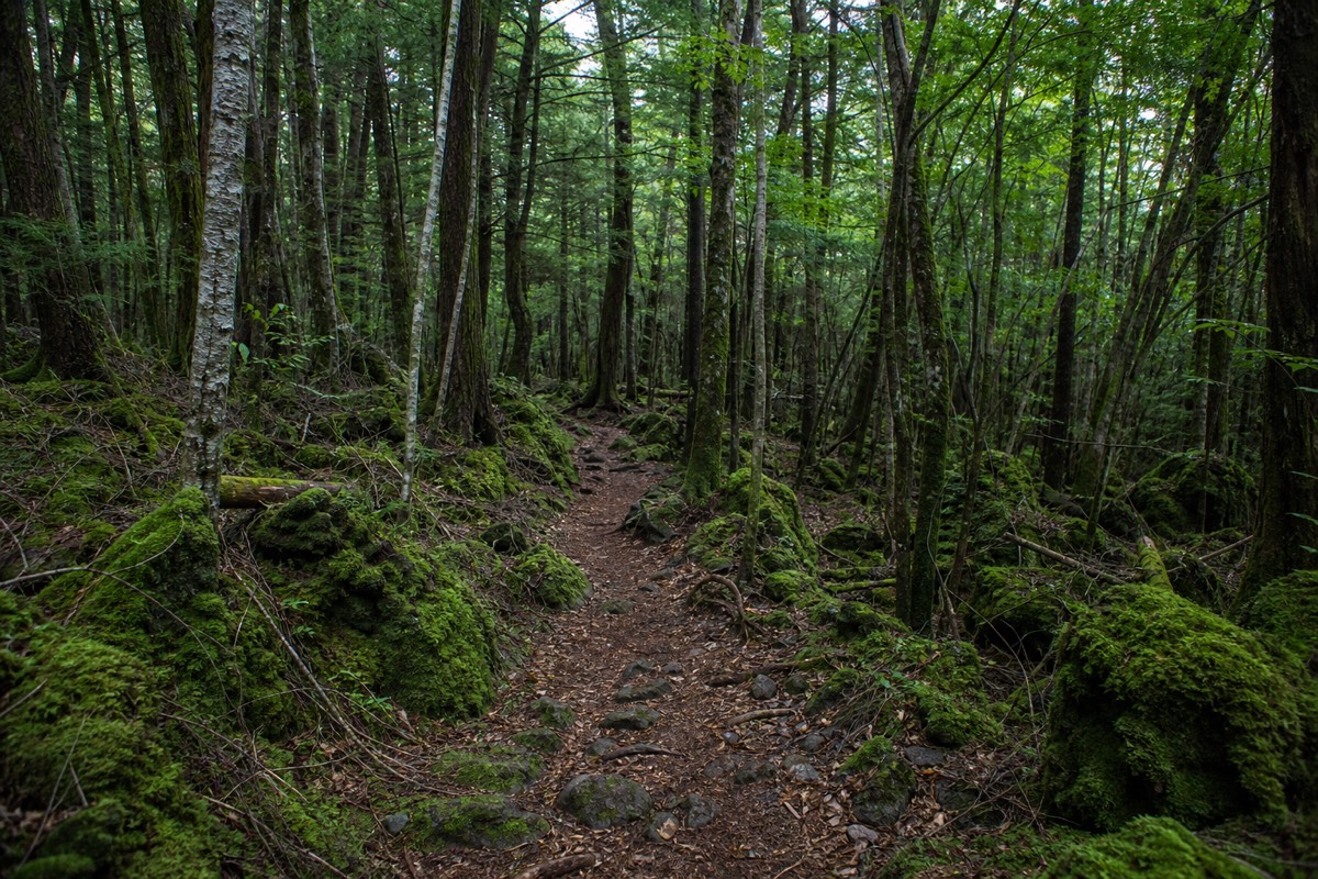
No, not in any way that would actually get you lost. Yamanashi Prefecture's own official tourism guidance for the forest calls this a common misconception, stating that a compass held at normal height, in your hand or on your chest, behaves as expected. The idea that Aokigahara's volcanic ground scrambles compasses is folklore that outran the facts a long time ago.
A guide adds explanations of the landscape, not a cure for failing compasses. Independent marked-trail walking remains an option.
3.5 hours: Geology commentary followed by a quieter stretch beneath the canopy. English guide; meet at NaturaBase opposite Fuji Lake Hotel and return there. Bottled water included; lunch extra.
Walk The Lava Forest With A Guide · Choose by time and starting pointWhat Does Official Guidance Actually Say?
Yamanashi's own tourism website addresses the claim directly, describing stories of compasses that stop working inside the forest as exaggerated, and stating plainly that a compass in your hand will read normally. Birds chirp, other hikers pass by, and a compass held the way anyone normally holds one works as expected. That's a notable thing for a regional tourism authority to spell out on its own site, and it suggests the myth is common enough, and persistent enough online, to be worth correcting directly rather than ignoring.
Is There Any Real Geology Behind The Myth?
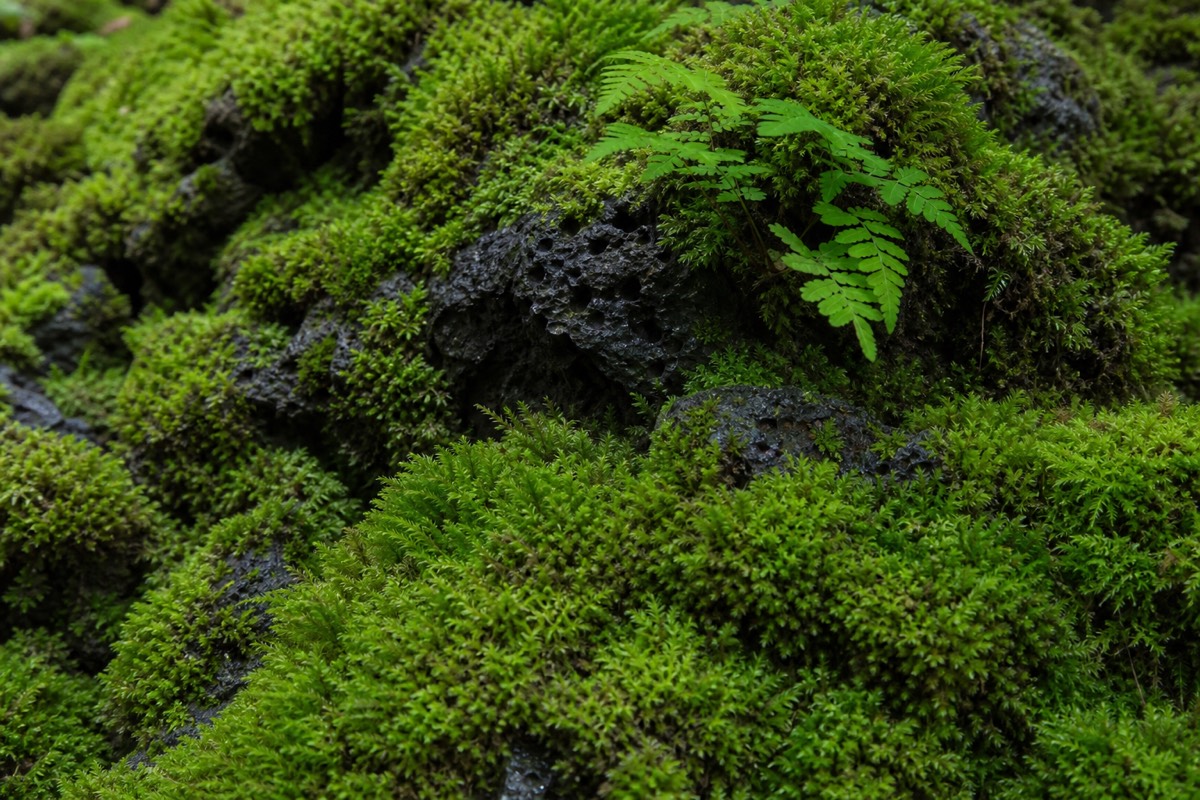
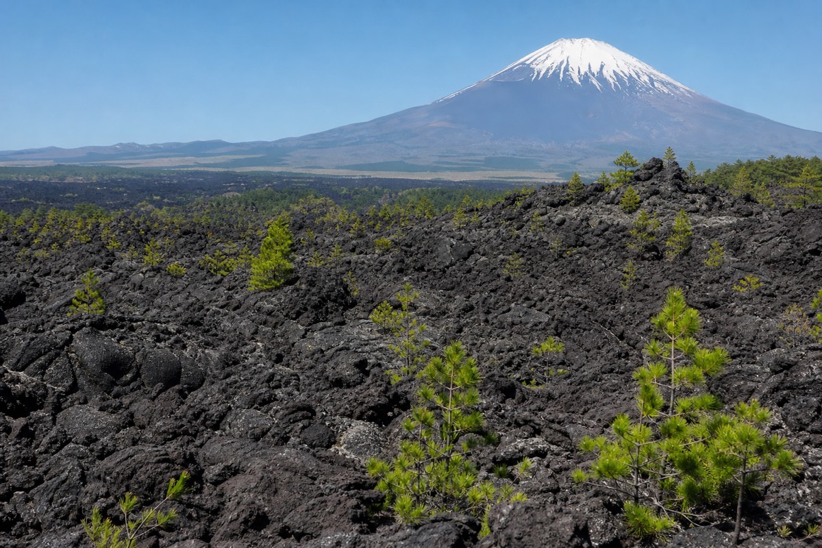
There's a kernel of real science the legend built on, even if the popular version overshoots it badly. A compass needle aligns with Earth's ambient magnetic field, and that alignment can be locally distorted by nearby material that's strongly magnetized itself. Iron-rich volcanic rock, basalt in particular, can genuinely carry a measurable magnetic signature: it cools and hardens while recording the magnetic field present at the time, and in a few well-documented volcanic areas worldwide, that recorded magnetism is strong enough to visibly deflect a compass needle held close to the exposed rock. Hawaii's Kilauea is a well-known example, where geologists have measured real, if highly localized, magnetic anomalies tied to old lava flows.
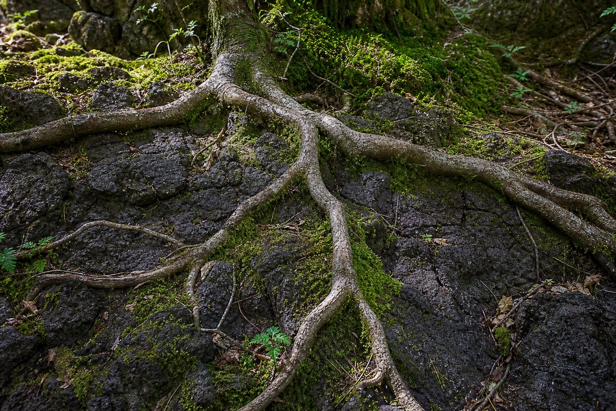
Two things matter about that fact, though. First, this kind of measurable anomaly is site-specific, it depends on how strongly a given lava flow was magnetized when it cooled, and there's no published record showing Aokigahara's lava carries an anomaly anywhere near that scale. Second, and more importantly for a hiker: even where these anomalies genuinely exist, the effect on a compass falls off sharply with distance from the rock. A compass essentially resting on exposed lava might register a flicker at a well-documented anomaly site. A compass held at chest or hand height, the way anyone actually navigates, is simply too far from the ground for that effect to register in any way that would throw off a reading. That's exactly what Yamanashi's own guidance says holds true here.
So Why Does Aokigahara Have A Reputation For Getting People Lost?
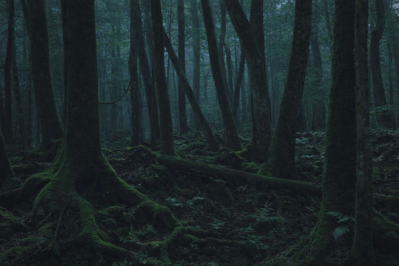
Not magnetism, terrain. The forest is dense, the tree cover is thick and largely uniform, and once you're off a marked path, there are few obvious landmarks to reorient by, the kind of featureless, repetitive woodland that disorients hikers in plenty of forests worldwide, nothing specific to Aokigahara's geology. Stay on the marked trails near the tourist entrances and caves, and this isn't a meaningful risk. It's the reason guided treks and marked paths exist in the first place: not because compasses fail here, but because dense, uniform forest is genuinely easy to lose your bearings in if you wander off-trail without one.
What Should You Actually Bring For Navigation?
A phone with an offline map or GPS works fine here, and so does a normal compass, held the normal way. Neither needs to be Aokigahara-specific gear, and neither requires any workaround for the volcanic ground. The more useful habit is simpler: stick to marked trails, note where the entrance and parking sit relative to your route, and treat this like any other forest hike where paying attention to the path matters more than the tool in your pocket. Most independent visitors walk the tourist-accessible trails near the caves without incident and without needing to think about any of this twice.
Is This Myth Unique To Aokigahara?
Not really, and that's worth knowing on its own. Volcanic destinations with an otherworldly reputation tend to accumulate this kind of claim, stories about magnetic ground, dead batteries, or malfunctioning instruments circulate around lava fields and dramatic-looking terrain in more than one country, usually with the same shaky evidentiary trail: a real, narrow scientific fact about magnetized rock, stretched into a much bigger practical claim than the science actually supports. Aokigahara's version got repeated often enough, tangled up with the forest's unrelated reputation for disorientation, that Yamanashi's tourism board apparently decided it was worth a direct, plain correction rather than letting it stand.